Master of Geographical Information Science and Technology
2025
- Total Tuition Fees109,000 AUDVerified
- Fees per Academic Year54,500 AUDVerified
- Course duration2.0 Year (104 weeks)
Overview
Introduction
The Master of Geographical Information Science and Technology provides industry-relevant training to allow you to pursue or further your career in global and Australian geospatial industry. You will learn the principles, techniques and applications of GIS and technology in a contextual environment from experts at the cutting edge of this field.Start of expanded contentThe course provides you with the theoretical knowledge and technical skills necessary to develop and apply solutions based on GIS and technology to real-world problems using a range of the state-of-the-art spatial information or geospatial technologies including geographical information systems (GIS), remote sensing, global navigation satellite systems (GNSS), spatial analysis and modelling, and decision support systems; design and implement methods for spatial data capture, design, develop and manage spatial databases; explore, integrate and analyse spatial data from multiple data sources; and to design and implement appropriate procedures for quality control, formulate, implement and manage GIS and remote sensing projects.[112792J]
Key Dates
2025
2026
Scholarship
English Language Requirements
IELTS score
PTE scores
2025 year
Listening
6.0
Speaking
6.0
Reading
6.0
Writing
6.0
Overall
6.5
School Level
A school's risk rating is a key factor in determining the evidence required for a student's visa application, making it a crucial point of reference.
For example, if a school has a risk rating of Level 2, the applicant will face more restrictions than in the past and will be required to provide additional documentary evidence, such as proof of English language proficiency and financial capacity

Course Campus
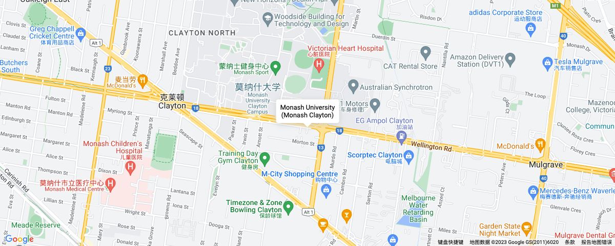
- VIC
Similar courses recommended across schools
WA
VIC
SA
NSW
QLD
ACT
TAS
NT


