Bachelor of Geospatial Information Systems
2025
- Total Tuition Fees124,500 AUDVerified
- Fees per Academic Year41,500 AUDVerified
- Course duration3.0 Year (156 weeks)
Overview
Introduction
In this degree, you’ll be taught skills to support change, growth and analytics in areas like global warming, urban planning, mining and exploration, archaeology, transportation and biodiversity management. You will integrate field-based data acquisition with modern technology, computer workshops and classroom-based theory.Geospatial Information Systems (or GIS) is a sector that is expanding rapidly and being increasingly integrated into almost every discipline. GIS focuses on systems designed to create, manage, analyse, and leverage all forms of geographic data. The Bachelor of Geospatial Information Systems produces graduates capable of capturing, analysing, and managing spatially related information in a variety of locations from land-based and drone technology to advanced Earth observation platforms.[110618F]
Key Dates
2025
2026
Scholarship
English Language Requirements
IELTS score
PTE scores
2025 year
Listening
6.0
Speaking
6.0
Reading
6.0
Writing
6.0
Overall
6.0
School Level
A school's risk rating is a key factor in determining the evidence required for a student's visa application, making it a crucial point of reference.
For example, if a school has a risk rating of Level 2, the applicant will face more restrictions than in the past and will be required to provide additional documentary evidence, such as proof of English language proficiency and financial capacity

Course Campus
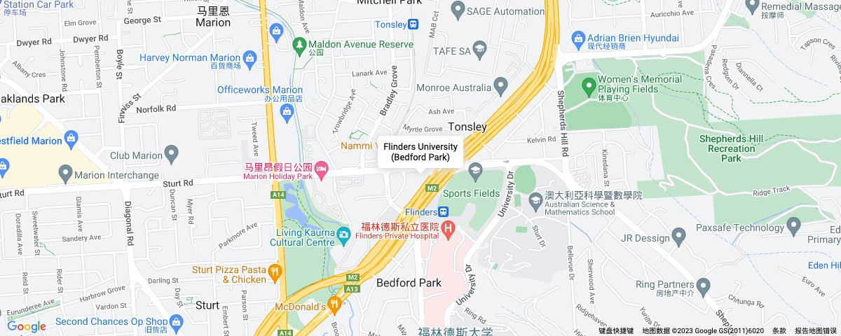
- SA
Similar courses recommended across schools
WA
QLD
TAS
NSW
SA


